Kvalitní cestovní pojištění
do zahraničí i do ČR.
Cestovní pojištění jednoduše, rychle a online na Top-Pojištění.cz s okamžitou platností a se slevou až 50 %.
Nejlevnější cestovní pojištění
na celý rok už od jediné koruny na den.


Malá Kleť (VV 210b; 1044 m)
Malá Kleť: Gipfel-Fotos | Fügen Foto | Fügen Auskunfte
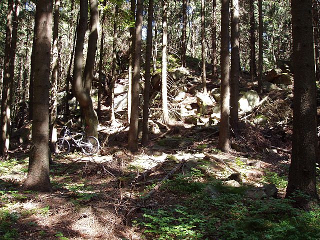
Petr Havránek (Juni 2005)
Lokalität: Gesamtheit: IB-2 Šumavské podhůří; Subganzheit: IB-2D Prachatická hornatina; Distrikt: IB-2D-4 Blanský les; Subdistrikt: IB-2D-4a Kleťská hornatina
Geographische Koordinaten:
WGS-84: 48°51´39˝ N, 14°17´18˝ O;
S-42: 5414540 X, 3447900 Y
Entsprechende Landkarten: Massstab 1:10 000 /32-21-25; SHOCart /40; KČT /73
Der entsprechende Hauptgipfel: Kleť (HLV 210; 1087 m)
Bemerkung: VV Kleti
Gipfel-Fotos
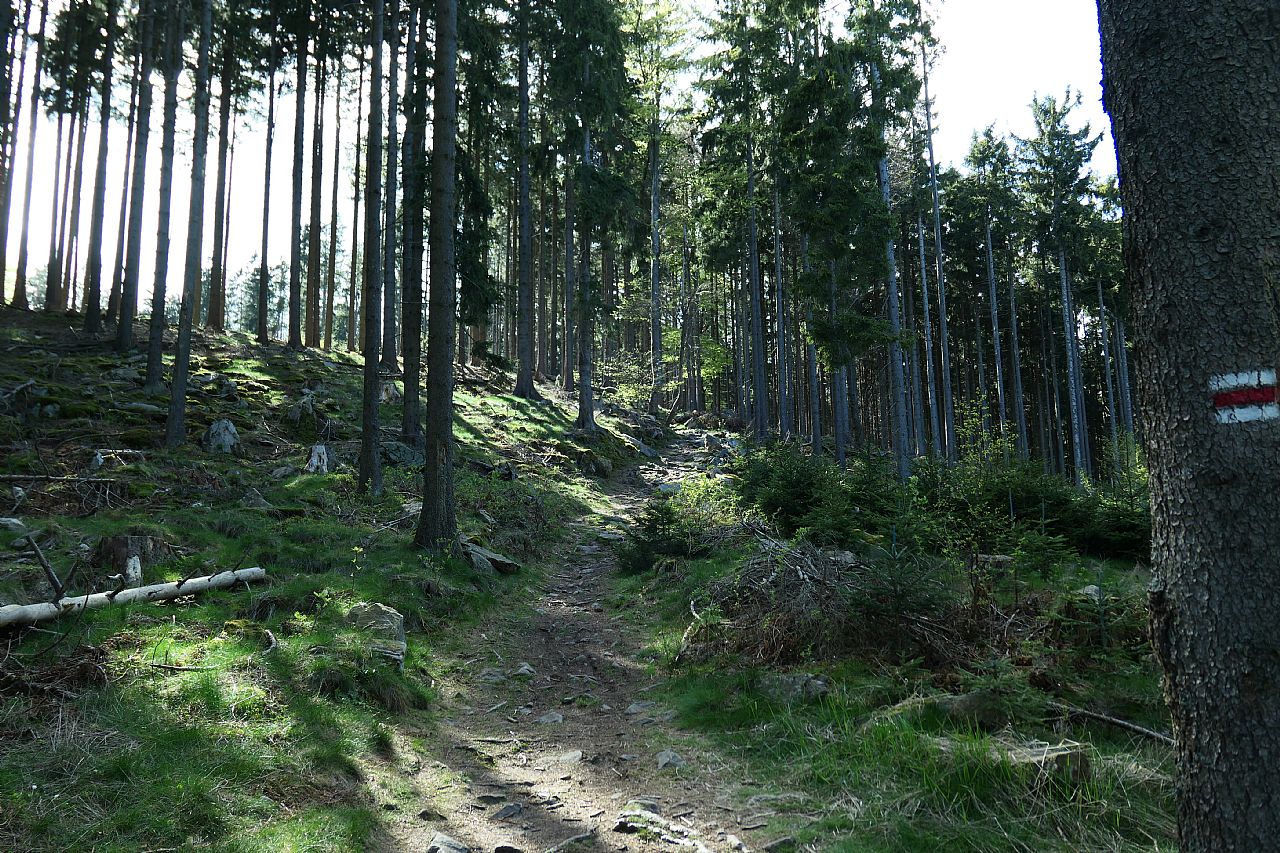
Jan Přibyl (Mai 2020)
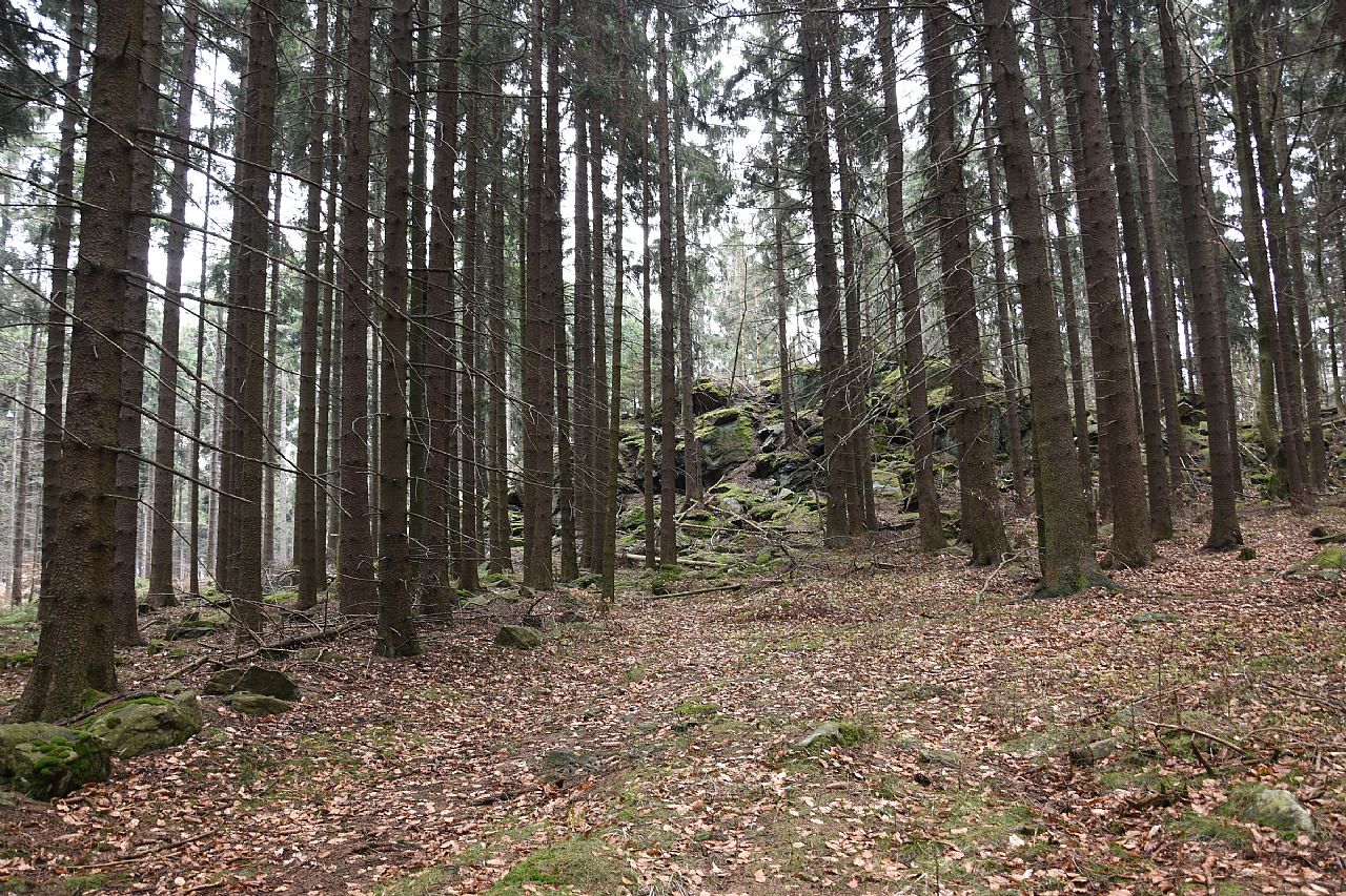
Renáta Šašková (April 2017)
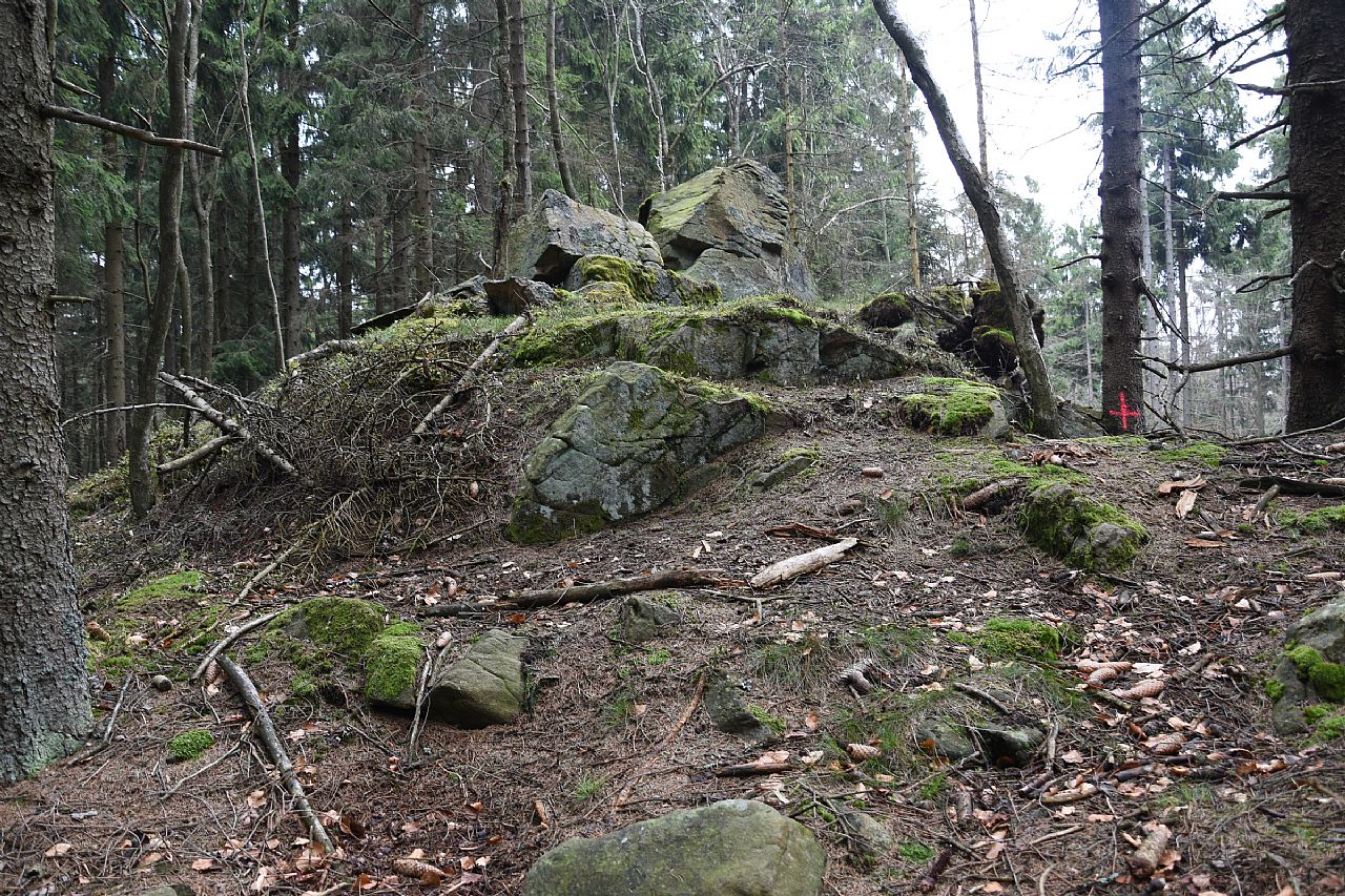
Renáta Šašková (April 2017)
Es steht kein aktuelles Foto von diesem Gipfel zur Verfügung. Fügen Sie, bitte, das erste Foto ein.
Aktualitäten
Es steht keine aktuelle Information über diesen Gipfel zur Verfügung. Fügen Sie, bitte, die erste Info ein.