Kvalitní cestovní pojištění
do zahraničí i do ČR.
Cestovní pojištění jednoduše, rychle a online na Top-Pojištění.cz s okamžitou platností a se slevou až 50 %.
Nejlevnější cestovní pojištění
na celý rok už od jediné koruny na den.


Loupežník (VV 289a; 1020 m)
Loupežník: Mountaintop photos | Add photo | Add information
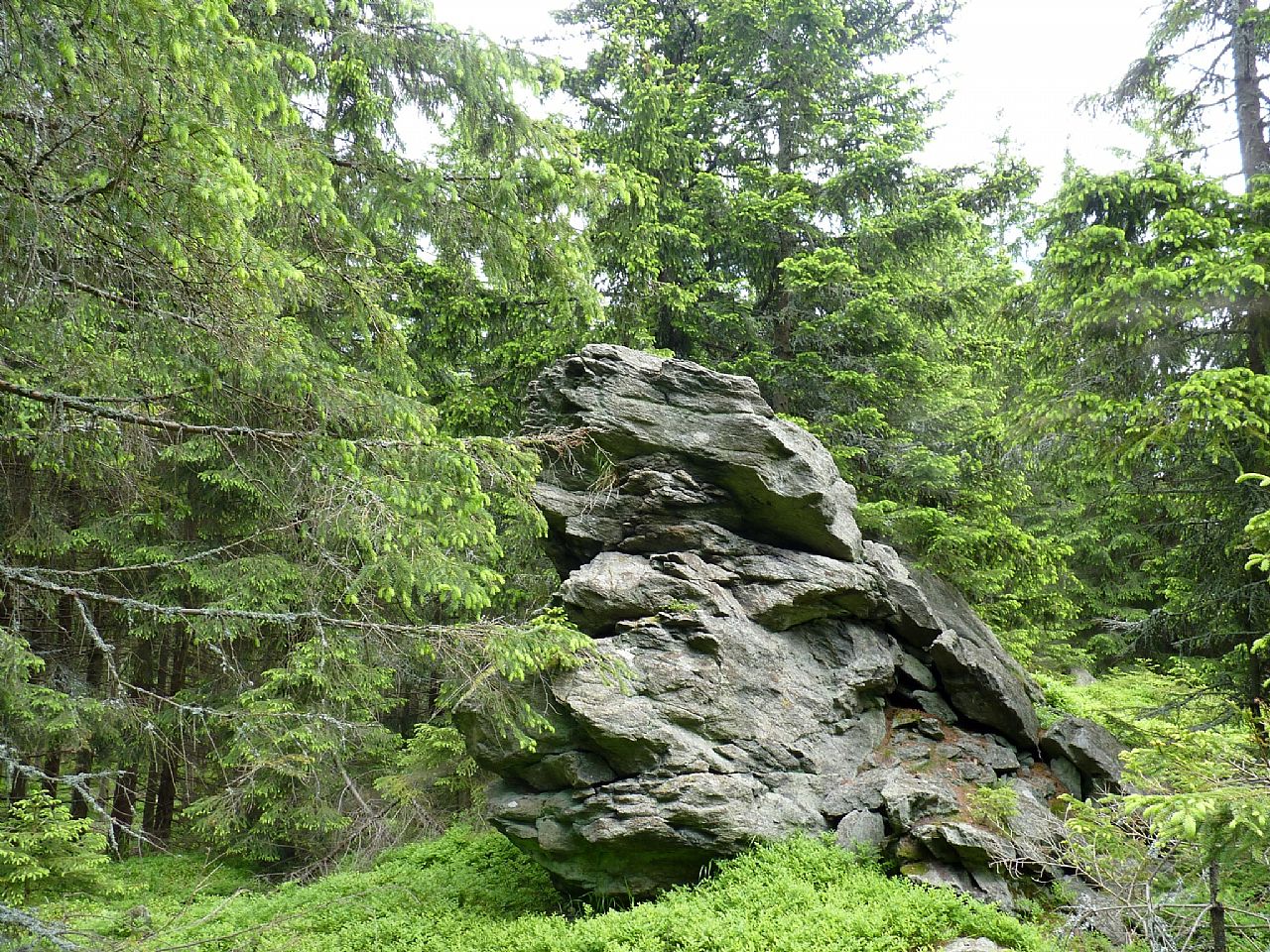
Miroslav Panský (June 2013)
Locality: Unit: IVC-7 Hrubý Jeseník; subunit: IVC-7B Medvědská hornatina; district: IVC-7B-1 Hornoopavská hornatina
Geographical coordinates:
WGS-84: 50°08´37˝ N, 17°20´17˝ E;
S-42: 5559580 X, 3667250 Y
Maps: ZM 1:10 000 /15-13-11; SHOCart /58; KČT /55
Relevant main thousand: Pytlák (HLV 289; 1040 m)
Note: VV Pytláka, skála
Actual mountaintop informations
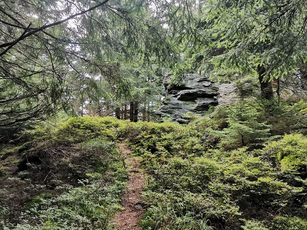
Pavel Blazek (August 2022)
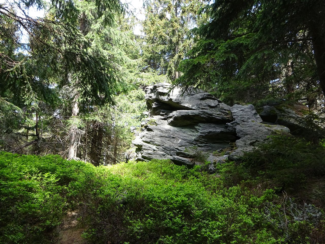
Ivan Bohuslav (May 2022)
Ivan Bohuslav (May 2022)
There are no photos of this top. Please insert the first one.
Actual mountaintop informations
There is no current news available. Please insert the first one.