Kvalitní cestovní pojištění
do zahraničí i do ČR.
Cestovní pojištění jednoduše, rychle a online na Top-Pojištění.cz s okamžitou platností a se slevou až 50 %.
Nejlevnější cestovní pojištění
na celý rok už od jediné koruny na den.


Kopřivná (VV 75a; 1019 m)
Kopřivná: Mountaintop photos | Add photo | Add information
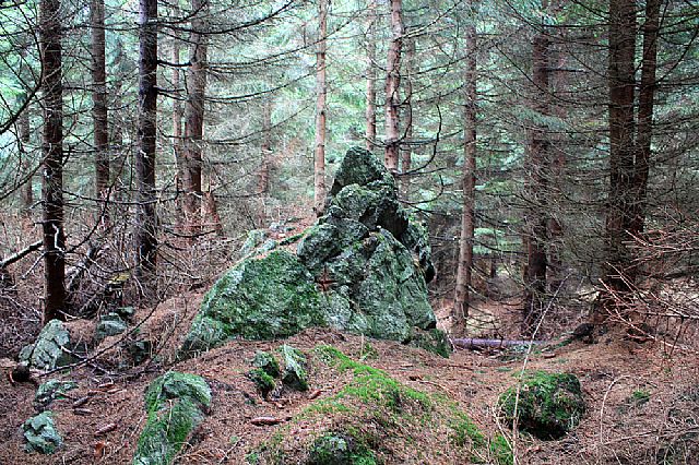
Jindřich Preis (November 2008)
Locality: Unit: IVC-7 Hrubý Jeseník; subunit: IVC-7C Pradědská hornatina; district: IVC-7C-3 Karlovská vrchovina
Geographical coordinates:
WGS-84: 50°02´20˝ N, 17°16´57˝ E;
S-42: 5547810 X, 3663630 Y
Maps: ZM 1:10 000 /14-42-05; SHOCart /58; KČT /55
Relevant main thousand: Temná (HLV 75; 1263 m)
Note: VV Temné (tento list ZM nemám)
Actual mountaintop informations
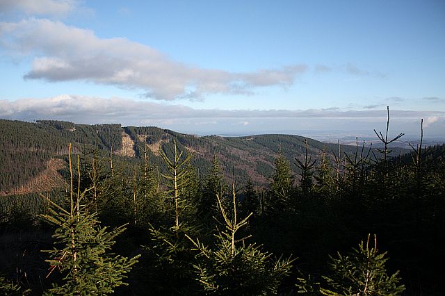
Jindřich Preis (November 2008)
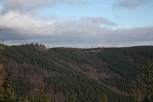
Jindřich Preis (November 2008)
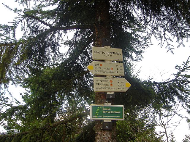
Jindřich Preis (November 2008)
There are no photos of this top. Please insert the first one.
Actual mountaintop informations
There is no current news available. Please insert the first one.