Kvalitní cestovní pojištění
do zahraničí i do ČR.
Cestovní pojištění jednoduše, rychle a online na Top-Pojištění.cz s okamžitou platností a se slevou až 50 %.
Nejlevnější cestovní pojištění
na celý rok už od jediné koruny na den.


Hraniční skály (VV 46a; 1319 m)
Hraniční skály: Mountaintop photos | Add photo | Add information
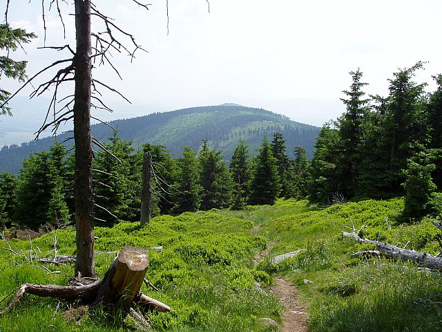
Petr Havránek (June 2006)
Locality: Unit: IVC-4 Králický Sněžník; district: IVC-4-2 Malosněžnický hřbet
Geographical coordinates:
WGS-84: 50°11´15˝ N, 16°48´34˝ E;
S-42: 5563410 X, 3629350 Y
Maps: ZM 1:10 000 /14-23-03; SHOCart /58; KČT /53
Relevant main thousand: Malý Sněžník (HLV 46; 1324 m)
Note: VV Malého Sněžníku
Actual mountaintop informations
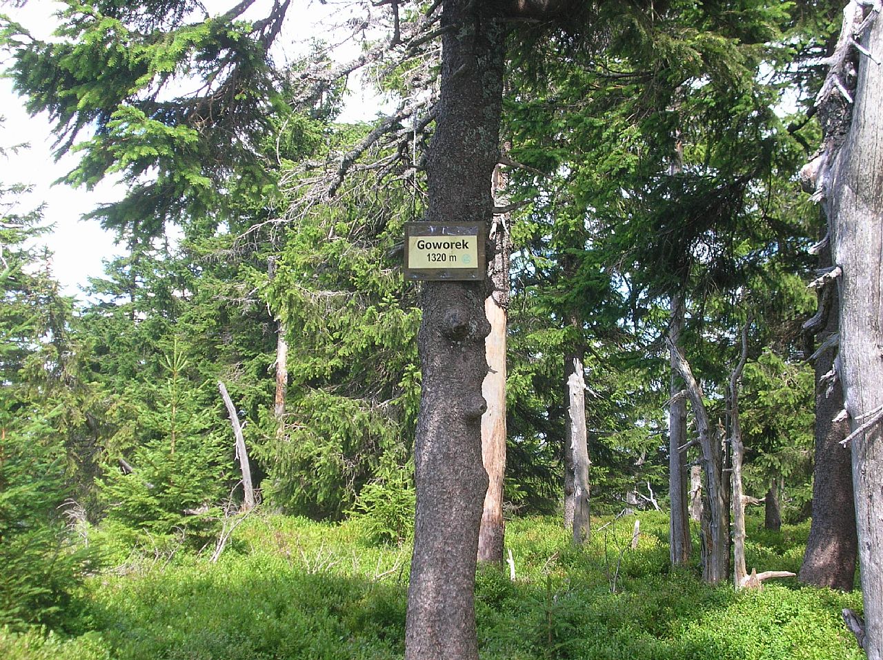
Ivan Bohuslav (August 2018)
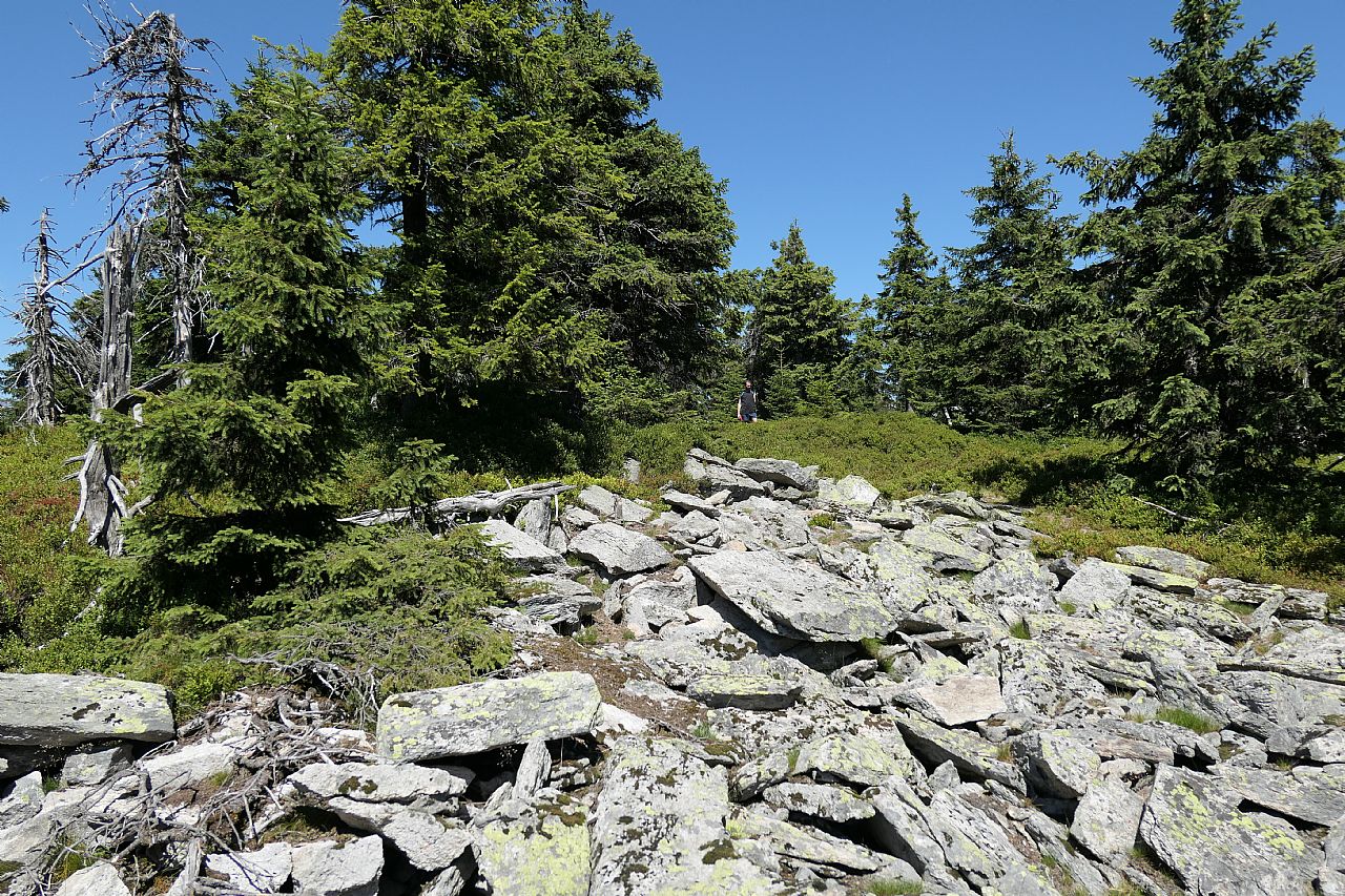
Jan Přibyl (July 2018)
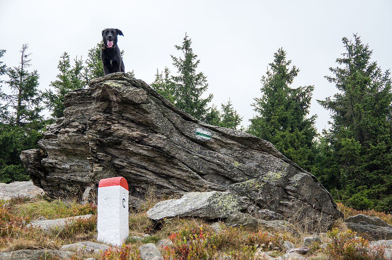
Pavel Blazek (September 2016)
There are no photos of this top. Please insert the first one.
Actual mountaintop informations
There is no current news available. Please insert the first one.