Kvalitní cestovní pojištění
do zahraničí i do ČR.
Cestovní pojištění jednoduše, rychle a online na Top-Pojištění.cz s okamžitou platností a se slevou až 50 %.
Nejlevnější cestovní pojištění
na celý rok už od jediné koruny na den.


Slavíč - JV vrchol (VV 253a; 1011 m)
Slavíč - JV vrchol: Mountaintop photos | Add photo | Add information
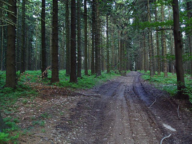
Tomáš Tisovský (July 2004)
Locality: Unit: IXE-3 Moravskoslezské Beskydy; subunit: IXE-3B Lysohorská hornatina; district: IXE-3B-2 Ropická rozsocha; subdistrict: IXE-3B-2b Slavíčsko-kozubovský hřbet
Geographical coordinates:
WGS-84: 49°33´47˝ N, 18°36´10˝ E;
S-42: 5498630 X, 3760740 Y
Maps: ZM 1:10 000 /25-22-25; SHOCart /69; KČT /97
Relevant main thousand: Slavíč (HLV 253; 1055 m)
Note: VV Slavíče
Actual mountaintop informations
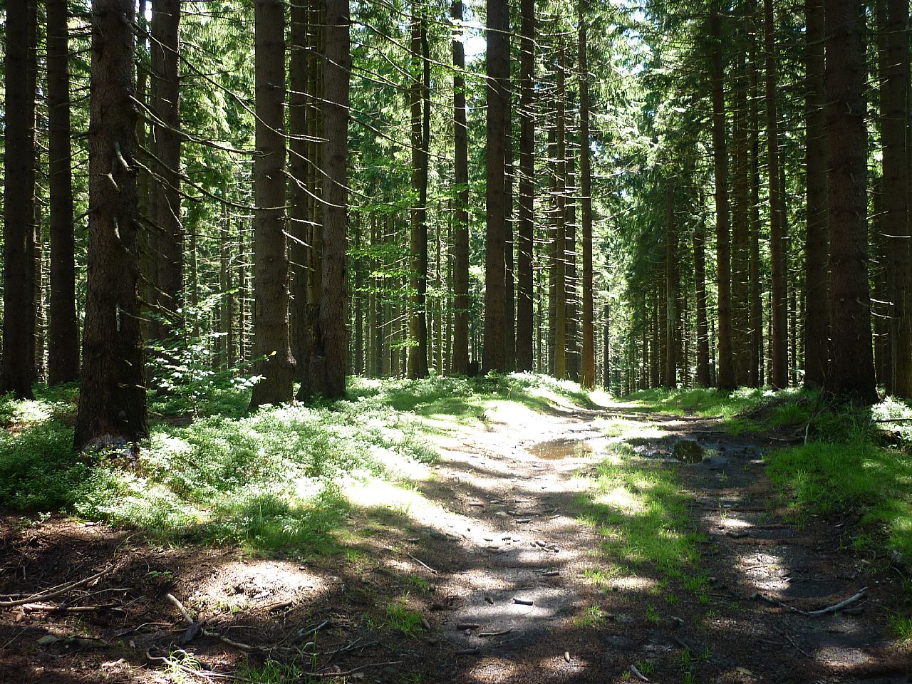
Jan Přibyl (July 2017)
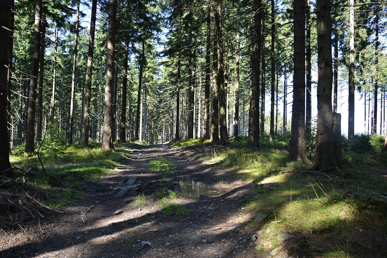
Tomáš Tesař (September 2016)
There are no photos of this top. Please insert the first one.
Actual mountaintop informations
There is no current news available. Please insert the first one.