Kvalitní cestovní pojištění
do zahraničí i do ČR.
Cestovní pojištění jednoduše, rychle a online na Top-Pojištění.cz s okamžitou platností a se slevou až 50 %.
Nejlevnější cestovní pojištění
na celý rok už od jediné koruny na den.


Kunčický hřbet (HLV 256; 1053 m)
Kunčický hřbet: Mountaintop photos | Add photo | Add information
Move on: VV U červeného kříže
Related links: Kunčický hřbet | Liščí hora | Lví hora | Polská hora | Smrk | Stolec | Studený | Travná hora | Trnová hora
Renáta Šašková (October 2003)
Locality: Unit: IVC-5 Rychlebské hory; subunit: IVC-5A Hornolipovská hornatina; district: IVC-5A-2 Velkovrbenské rozsochy; subdistrict: IVC-5A-2a Kunčické rozsochy
Geographical coordinates:
WGS-84: 50°14´12˝ N, 16°57´43˝ E;
S-42: 5569160 X, 3640090 Y
Maps: ZM 1:10 000 /14-21-25; SHOCart /58; KČT /53
Actual mountaintop informations
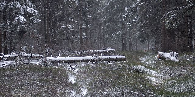
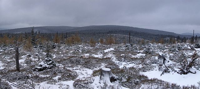
Ivan Bohuslav (September 2017)
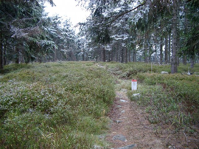
Michal Holub (November 2006)
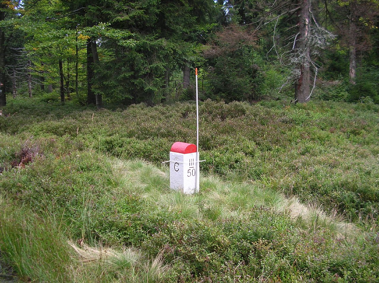
Michal Holub (November 2006)
There are no photos of this top. Please insert the first one.
Actual mountaintop informations
There is no current news available. Please insert the first one.