Kvalitní cestovní pojištění
do zahraničí i do ČR.
Cestovní pojištění jednoduše, rychle a online na Top-Pojištění.cz s okamžitou platností a se slevou až 50 %.
Nejlevnější cestovní pojištění
na celý rok už od jediné koruny na den.


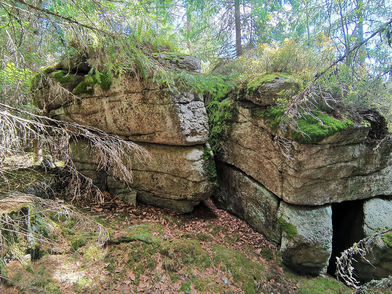
Jelení slať - J vrchol (VV 290a; 1028 m)
Jelení slať - J vrchol: Mountaintop photos | Add photo | Add information

Petr Havránek (June 2006)
Locality: Unit: IB-1 Šumava; subunit: IB-1A Šumavské pláně; district: IB-1A-5 Knížecí pláně; subdistrict: IB-1A-5c Stráženské pláně
Geographical coordinates:
WGS-84: 48°56´38˝ N, 13°39´21˝ E;
S-42: 5424240 X, 3401880 Y
Maps: ZM 1:10 000 /32-11-15; SHOCart /35; KČT /66
Relevant main thousand: Jelení slať - S vrchol (HLV 290; 1048 m)
Note: VV Jelení slatě -S vrcholu
Actual mountaintop informations
Pavel Blazek (September 2024)
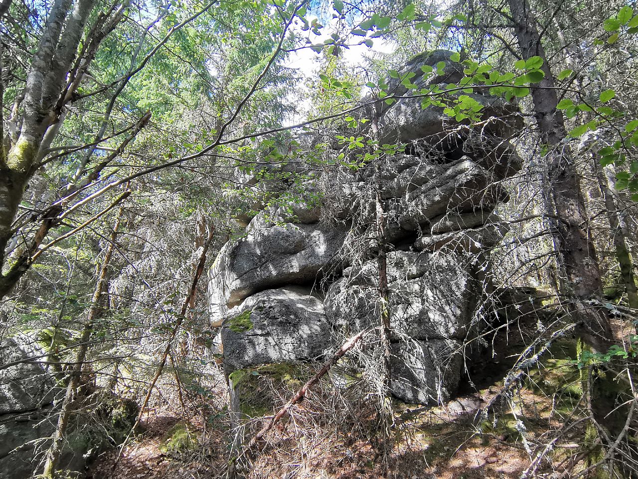
Pavel Blazek (September 2024)
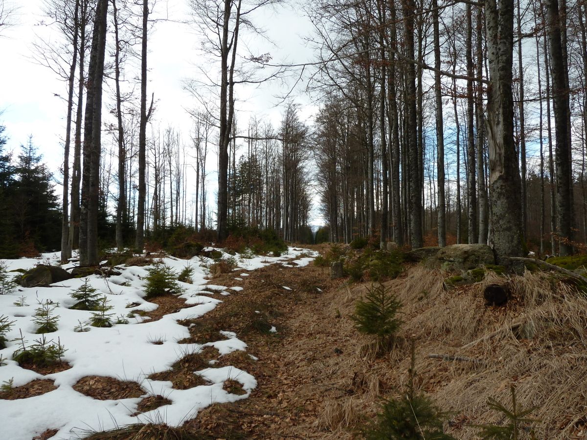
Tomáš Formánek (February 2014)
There are no photos of this top. Please insert the first one.
Actual mountaintop informations
There is no current news available. Please insert the first one.