Kvalitní cestovní pojištění
do zahraničí i do ČR.
Cestovní pojištění jednoduše, rychle a online na Top-Pojištění.cz s okamžitou platností a se slevou až 50 %.
Nejlevnější cestovní pojištění
na celý rok už od jediné koruny na den.


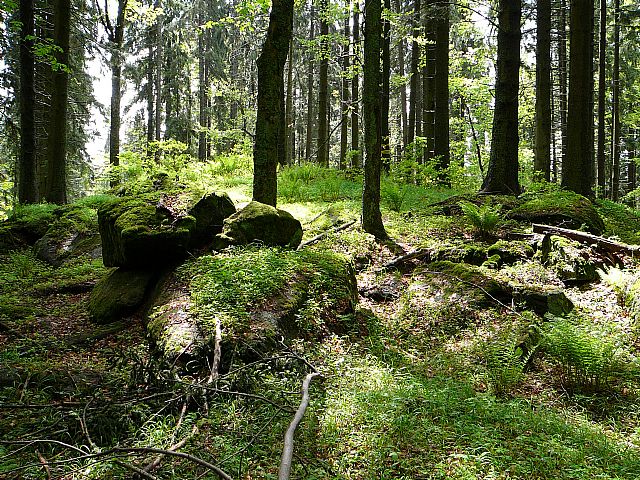
Kapradinec (VV 129a; 1097 m)
Kapradinec: Mountaintop photos | Add photo | Add information
Tomáš Formánek (May 2006)
Locality: Unit: IB-1 Šumava; subunit: IB-1E Želnavská hornatina; district: IB-1E-1 Knížecí hornatina; subdistrict: IB-1E-1b Špičácká hornatina
Geographical coordinates:
WGS-84: 48°48´31˝ N, 14°01´29˝ E;
S-42: 5408940 X, 3428490 Y
Maps: ZM 1:10 000 /32-23-06; SHOCart /35; KČT /67
Availability: vojenský výcvikový prostor Boletice
Relevant main thousand: Nad Hospodárnicí (HLV 129; 1182 m)
Note: VV Nad hospodárnicí
Actual mountaintop informations

Pavel Blazek (September 2025)
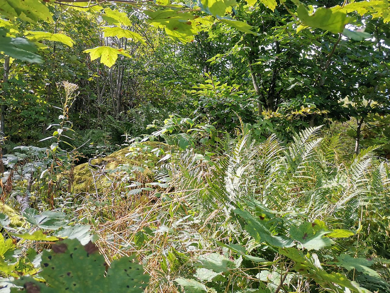
Pavel Blazek (September 2025)
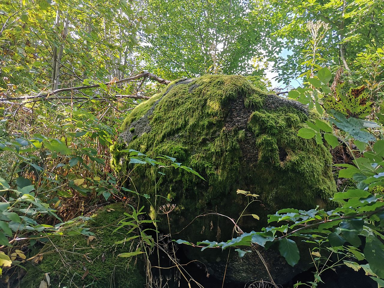
Pavel Blazek (September 2025)
There are no photos of this top. Please insert the first one.
Actual mountaintop informations
There is no current news available. Please insert the first one.