Kvalitní cestovní pojištění
do zahraničí i do ČR.
Cestovní pojištění jednoduše, rychle a online na Top-Pojištění.cz s okamžitou platností a se slevou až 50 %.
Nejlevnější cestovní pojištění
na celý rok už od jediné koruny na den.


Kunžvart (VV 178a; 1033 m)
Kunžvart: Mountaintop photos | Add photo | Add information
Tomáš Formánek (February 2017)
Locality: Unit: IB-1 Šumava; subunit: IB-1A Šumavské pláně; district: IB-1A-5 Knížecí pláně; subdistrict: IB-1A-5c Stráženské pláně
Geographical coordinates:
WGS-84: 48°55´15˝ N, 13°42´33˝ E;
S-42: 5421770 X, 3405520 Y
Maps: ZM 1:10 000 /32-12-11; SHOCart /35; KČT /66
Relevant main thousand: Strážný (HLV 178; 1115 m)
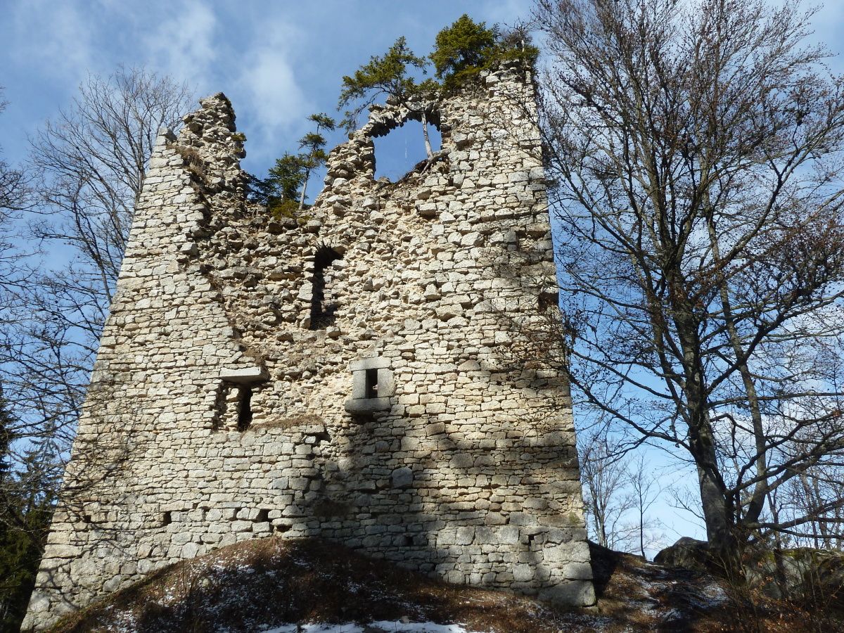
Note: VV Strážného (zřícenina hradu)
Actual mountaintop informations
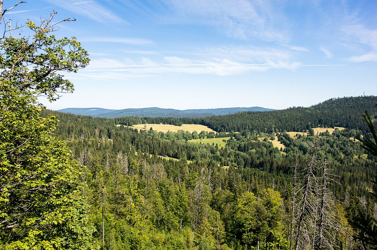
Pavel Blazek (August 2024)
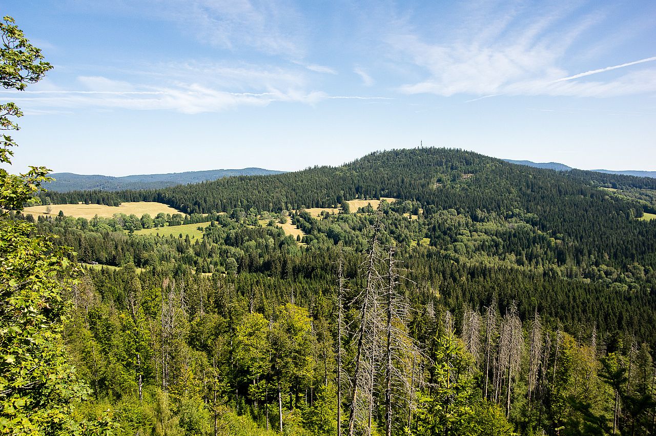
Pavel Blazek (August 2024)
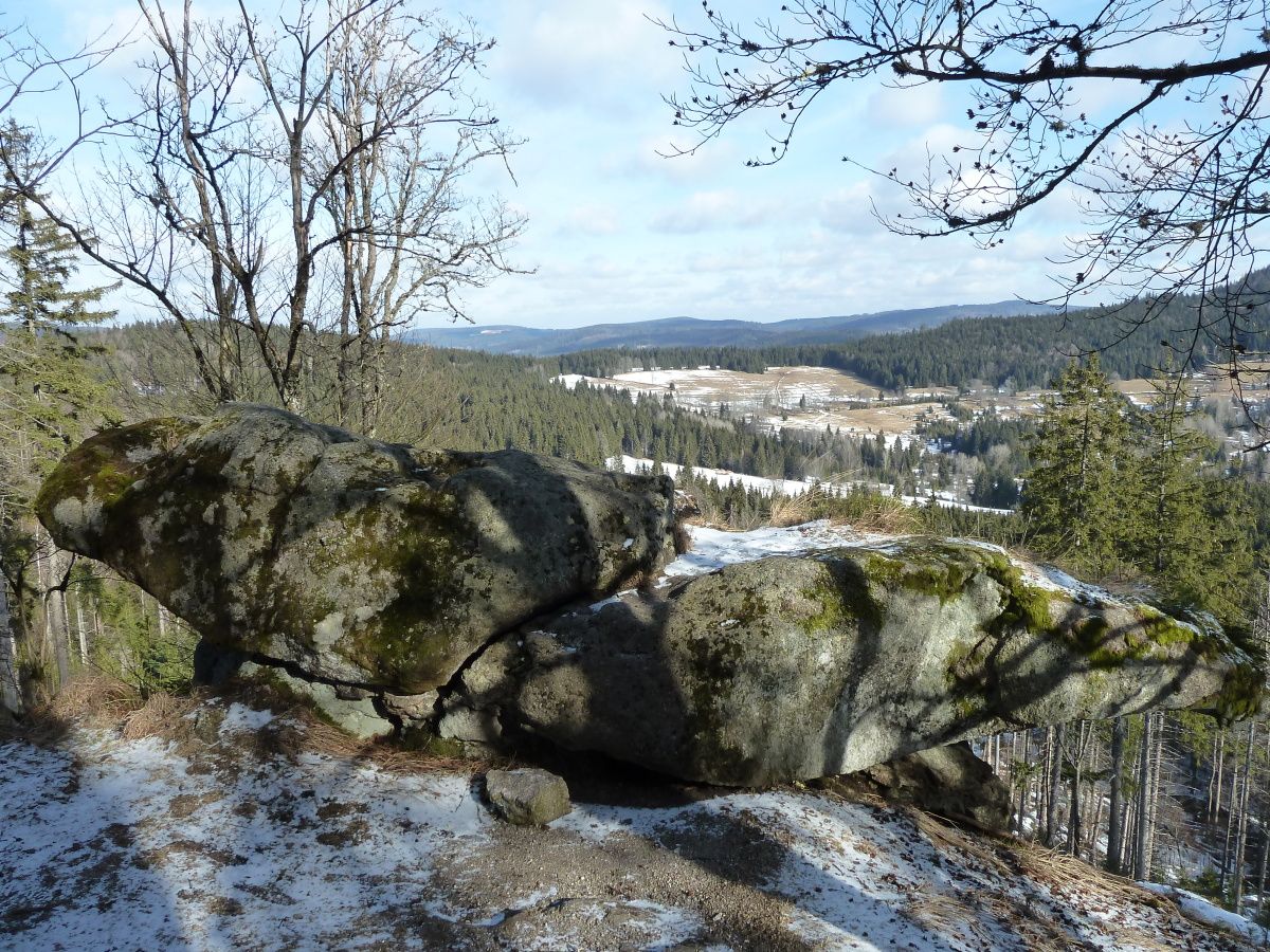
Tomáš Formánek (February 2017)
There are no photos of this top. Please insert the first one.
Actual mountaintop informations
There is no current news available. Please insert the first one.